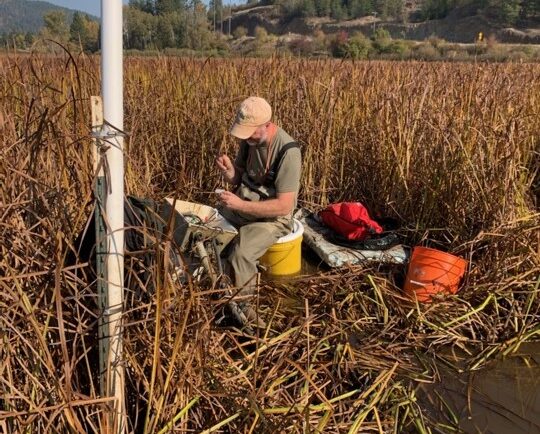
Our field crews installed/updated two environmental monitoring stations in remote locations in the Pacific Northwest. Multiple types of sensors were installed including air and soil temperature, precipitation, soil moisture and soil redox potential. These stations provide data for designing and evaluating soil remediation projects for U.S. Environmental Protection Agency’s Office of Research and Development.
Installing a monitoring station.
See More CSS Insights
Evaluating Chemical Transfer from Pregnant and Nursing Animals
CSS scientists supporting the Environmental Protection Agency’s Office of Pesticide Programs are reviewing modeling data that evaluates the potential for transfer of chemical residues from pregnant and nursing animals to fetuses and infants. The vast majority of data come from pharmaceuticals, but staff are reviewing some data from pesticides and other environmental contaminants as well.…
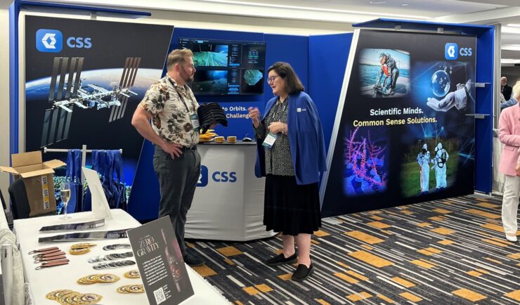
International Space Station Research and Development Conference
CSS recently attended the International Space Station Research and Development Conference in Boston, Massachusetts. This conference is a gathering of professionals conducting research and developing technology in the microgravity environment of space. CSS was a gold sponsor for the conference and co-hosted a session entitled Payload Pandemonium along with the director of payload operations for…
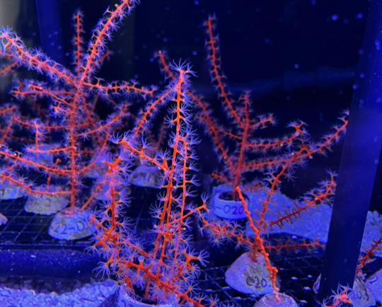
Studying Mesophotic Coral Health
Mesophotic coral can live at depths of 500 feet below the ocean surface. Even at this depth, some of the mesophotic corals in the Gulf of Mexico were affected by the Deepwater Horizon oil spill in 2010. Our coral scientists supporting NOAA’s National Centers for Coastal Ocean Science are studying the extent of this impact.…