- Community Spotlight
- Emergency Preparedness & Response, Satellite Science & Environmental Intelligence
Supporting Hurricane Preparedness and Response
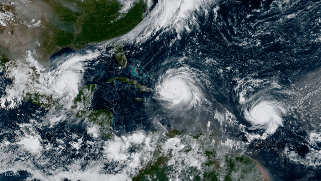
June 1 marks the beginning of hurricane season, but CSS employee owners work throughout the year to help communities prepare for and respond to hurricanes year-round. Through several contracts, CSS helps clients develop tools and content and manage data to provide resources communities and decision-makers can use for hurricane preparedness and response. Explore a few of these resources below.
Coastal Flood Exposure Mapper
Communities and local decision-makers can start a conversation regarding their flood exposure with the Coastal Flood Exposure Mapper developed by NOAA’s Office for Coastal Management. Communities can view storm surge and other flood exposure data for cities, towns, and even specific addresses. CSS employee owners (on a subcontract through Lynker Technologies) manage this tool and the data that populate it. In addition, they develop content and provide outreach for this tool.

Land Cover Data
Coastal managers can use land cover data provided by NOAA’s Office for Coastal Management to make land use decisions. These data help coastal managers identify protective ecosystems such as wetlands and forests, which help absorb and protect communities and coasts from powerful wave action from storm surge and winds from hurricanes and other coastal storms. CSS employee owners (on a subcontract through Lynker Technologies) help process and manage these data and provide support in production activities and quality assurance and quality control checks.
Community Risk Assessments
The social science team with NOAA’s National Centers for Coastal Ocean Science (NCCOS) works with communities to assess risk from hurricanes, flooding, and other severe events. They follow a series of steps outlined in the Community Risk Assessment Portfolio and then provide information to local, regional, and federal governments, stakeholders, and communities to help them better protect themselves. Following Hurricanes Irma and Maria in 2017, which caused severe damage in St. Thomas, St. John, and St. Croix, CSS employee owners supported the NCCOS social science team with assessing community risk to flood hazards in the U.S. Virgin Islands. The team recently developed this storymap to capture the process and outcomes.

Hyperspectral Microwave Sensors
CSS employee owners on contract with NOAA’s Center for Satellite Applications and Research have developed a framework, exploiting modern artificial intelligence / machine learning techniques, to rapidly evaluate the benefits and capabilities of Hyperspectral Microwave Sensors (HyMS) prototypes. HyMS are instruments that gather high spectral resolution data across a wide range of wavelengths within the microwave spectrum, enabling improved atmospheric temperature, moisture, cloud and precipitation sounding, nowcasting, and numerical weather prediction. CSS is currently doing assessments to determine the potential improvements that can be implemented into real-time monitoring of severe meteorological events, such as hurricanes, floods, and tornados. These advancements will help forecasters better understand these events, where they are likely to occur, and be able to issue more advanced warnings to alert decision-makers and the public on preparations that can be made to help save property and lives.
See More CSS Insights

Overcoming COVID-19 Challenges
Great job to our team supporting our contract with the U.S. General Services Administration on assisting the client with conducting a year’s worth of environmental, health, and safety surveys in just six months! Due to limitations with COVID-19, the team was unable to conduct their surveys on their usual timeline and instead had to work…

New Contract. Same Great Work.
We’re pleased to announce a new small business joint venture with Paul Bechtel & Associates (PB&A), which was awarded a 5-year contract to continue supporting the U.S. Environmental Protection Agency’s (EPA) Office of Pesticide Programs. For 40 years our staff have supported EPA’s Office of Pesticide Programs in the review and evaluation of pesticide data.…

55 Years of Earth Day!
Since April 22, 1970 — that’s 55 years! — we’ve celebrated Earth Day to raise environmental awareness and support for environmental protection. At CSS we have a passion for the environment and through various government contracts, we work with our clients to overcome challenges to help protect this rock we call home. Below are a…