- CSS News
- Environmental Resource Assessment & Management
Tracking Fish Through Restored Habitat
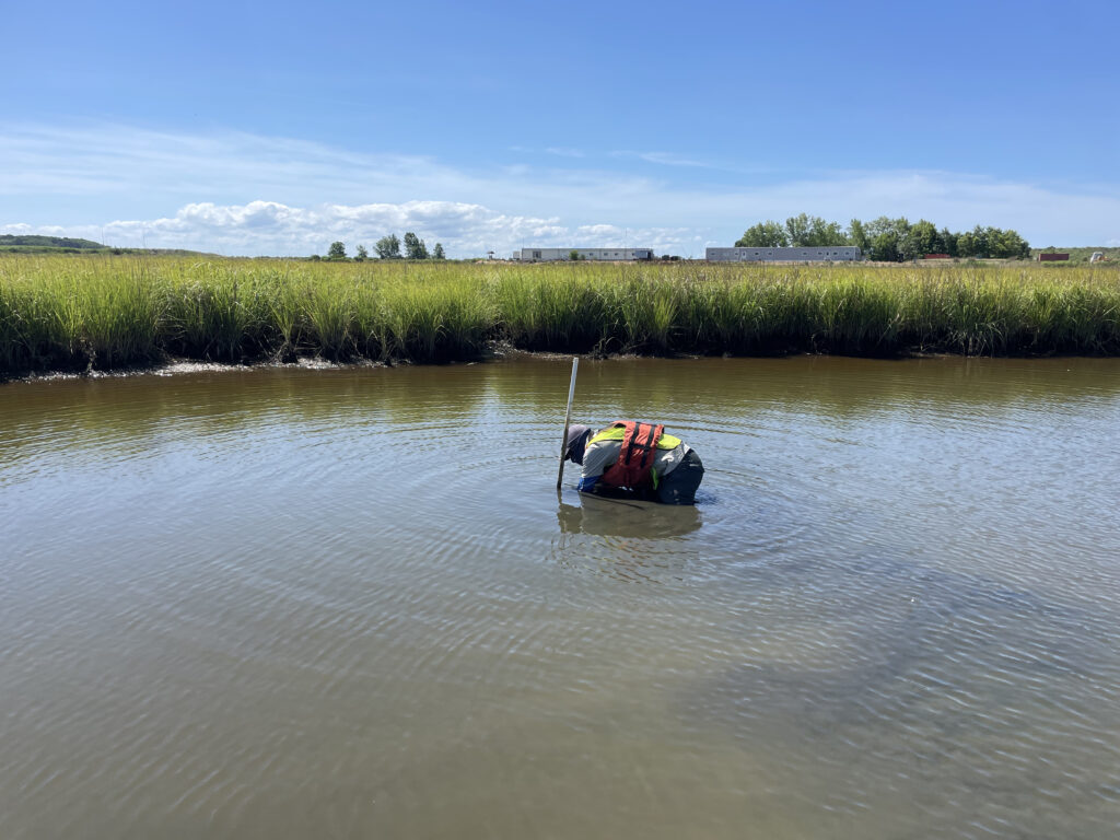
Poplar Island, a severely eroded remote island in the Chesapeake Bay, has been the site of a major restoration effort supported by CSS client, NOAA’s National Centers for Coastal Ocean Science (NCCOS), and their partners, Army Corps of Engineers, and the Maryland Department of Transportation, Maryland Port Administration. This massive effort utilizes dredge sediment from the shipping channel that leads to Baltimore Harbor to restore land mass lost to sea level rise and erosion. The goal is to rebuild natural habitats including wetlands, uplands, and embayments that provide critical habitat for birds and fish of the Chesapeake Bay. NCCOS and CSS scientists are studying this restored habitat and species that use the environment to help inform this restoration effort.
CSS employee owners work alongside federal program staff and local partners to collect samples throughout the regions. In fiscal year 2024 CSS staff deployed to the Gulf of Mexico and Pacific Ocean, which includes Alaska, Hawaii, and the West Coast. The team adds data they collect during these missions to the Coastal Pollution Data Explorer, a cloud-based ArcGIS platform that allows users to search by location or type of contaminant, generate a report, and download the data. A CSS employee owner serves as the lead developer for this online platform. Learn more about NOAA’s National Mussel Watch Program.


See More CSS Insights

Overcoming COVID-19 Challenges
Great job to our team supporting our contract with the U.S. General Services Administration on assisting the client with conducting a year’s worth of environmental, health, and safety surveys in just six months! Due to limitations with COVID-19, the team was unable to conduct their surveys on their usual timeline and instead had to work…

Over 40 Years of Support
Since 1982, members of our staff have supported EPA’s Office of Pesticide Programs. As part of this contract, our staff assess environmental and human health impacts on anthropogenic chemicals. The agricultural industry is critical to food and textile production, it is a large contributor to the U.S. economy. Not only does the industry provide food…
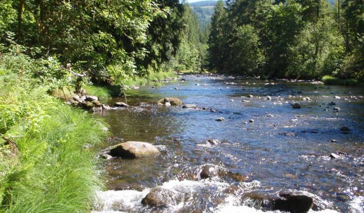
Over 2000 River and Stream Samples Analyzed
Every five years teams supporting U.S. Environmental Protection Agency’s National Aquatic Resource Survey—consisting of tribal, state, and federal partners—collect samples from over 2000 river and stream reaches throughout the United States. CSS analytical chemists support this effort by processing the samples and then analyzing them for various chemicals to help characterize their water quality. The…